What we offer
farmAIr is a dynamic, flexible and customer-oriented AgriTech company, committed to always bring cutting-edge technology and the best experience to you.
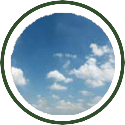
Weather Data
Live, historical (up to 7 days before the shooting), and a 3-day forecast of temperature, wind speed, barometric pressure, moisture, precipitation, and cloud coverage – absolute values & graphs.
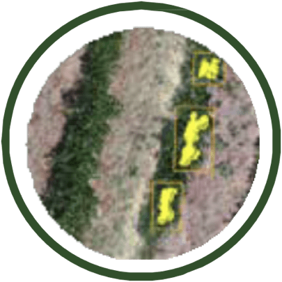
Early & Accurate detection of plant stress (Pat)
Biotic and Abiotic Plant stress detection, using high-definition thermal and digital cameras farmAIr’s Artificial Intelligence.
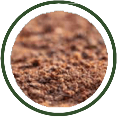
Soil Data
Moisture & temperature of the soil surface and the temperature at 10 cm below the soil surface, 2 times per day & historical data (at the shooting day) - absolute values & graphs.
Vegetation and Water content Indexes
Satellite images and graphs (daily and historical data at +/- 8 days from the shooting day) of the EVI (Enhanced Vegetation Index), NDVI (Normalized Difference Vegetation Index) & NDWI (Normalized Difference Water Index).
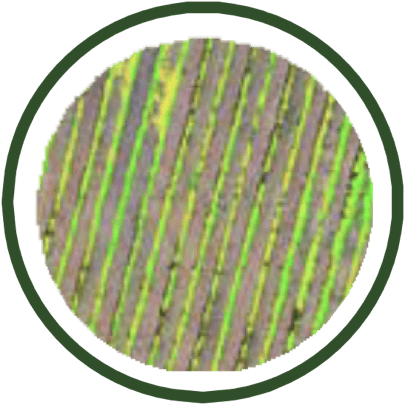
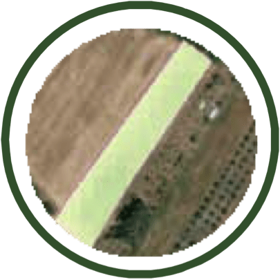
Low Chlorophyll Content
High-definition depiction of the low chlorophyll content areas of the field – The low chlorophyll content at non-stressed plants is a possible indication of nitrogen fertilization need.
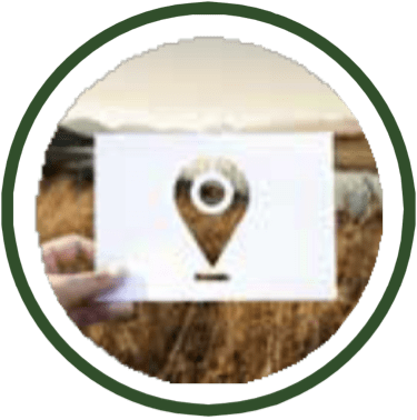
Navigate to the problematic plant(s)
Navigate using your cell phone or tablet in those areas requiring your attention - High accuracy georeferenced images (GPS), navigation deviation of less than 10 cm.
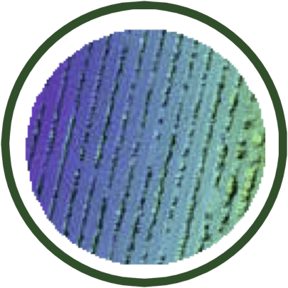
Digital Surface Map
High-definition depiction of the height difference within the field and of each individual vine trunk – as an indication of potential irrigation or drainage issues.
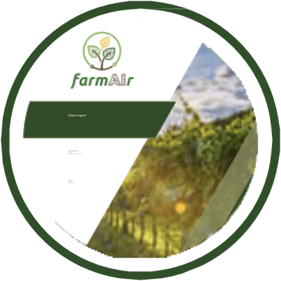
Comprehensive Stress Detection Report
Download your all-inclusive summary pdf report after the photoshoot of your filed, see all the findings, key data & forecasts in one place and share it with your scientific team.